How a Teenage Side Project Bridged Real-World Geography and Minecraft Through Community and AI

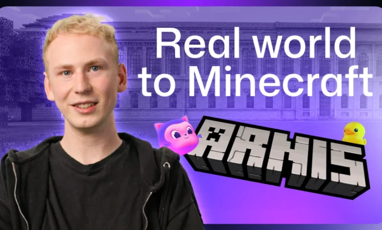
Louis Erbkamm has spent countless hours navigating the streets, waterways, and alleyways of Arnis, the smallest municipality in Germany, yet the software developer has never actually set foot within its physical borders. Through the lens of his open-source generation tool, however, Erbkamm knows the town intimately. His project, aptly named Arnis, translates geographical data from OpenStreetMap and external databases into fully interactive, block-based landscapes within Minecraft. What began in 2022 as a two-week diversion during a school break has rapidly matured into a global phenomenon, accumulating nearly 900,000 downloads and drawing contributions from approximately 70 developers worldwide.
The Genesis of a Geospatial Sandbox
Erbkamm’s journey into software engineering began early. Growing up as an avid player of Minecraft, he began writing code at the age of 13, consistently seeking innovative methods to merge his passion for video games with programming challenges. When the COVID-19 pandemic and routine school breaks afforded him extra free time, Erbkamm conceptualized a utility that could programmatically ingest real-world spatial coordinates and translate them into voxel-based game architectures.
The initial prototype, constructed entirely in Python, relied strictly on foundational OpenStreetMap datasets. Because the early iteration was computationally intensive and generated terrain at a comparatively slow pace, Erbkamm sought a small testing ground to evaluate performance metrics. He looked up diminutive municipalities in his native Germany and selected Arnis, an idyllic town characterized by a dense layout of buildings, intricate road networks, and surrounding bodies of water.
"Arnis has a lot of buildings, it has streets, it has waters, it has all kinds of different elements that are useful to test with," Erbkamm explains. At the time, the software lacked a formal designation, prompting the creator to borrow the moniker of the town that served as its digital proving ground.
Community-Driven Evolution and Global Scaling
As the project evolved past its rudimentary, flat-land prototypes, Erbkamm introduced elevation data, transforming the generated Minecraft worlds from two-dimensional planes into complex topography featuring rolling hills, valleys, and coastal drop-offs. This technical leap attracted the attention of geospatial specialists, GIS hobbyists, and software engineers from across the globe, who quickly mobilized to offer architectural improvements and feature proposals.
Rather than dictating the trajectory of the software unilaterally, Erbkamm fostered a collaborative environment. Major systemic overhauls—such as migrating the core codebase from Python to Rust for enhanced performance and memory efficiency—were deliberated openly via GitHub discussion boards. This decentralized approach empowered contributors to translate Arnis into approximately 20 languages and author critical feature sets independently.
"The best thing that has happened to me is essentially this big community on GitHub to see actually people from all kinds of different fields coming together to work on something that I started as a side project," Erbkamm notes.
The meticulous detail demanded by the user base often yields unconventional development cycles. For instance, observations during routine walks prompted Erbkamm to notice the conspicuous absence of municipal trash bins in generated urban environments. Because Minecraft features no native equivalent to a street-side waste receptacle, Erbkamm consulted the open-source community to identify an appropriate block substitute.

The technical pipeline for such features is rigorous. When a user selects a specific geographic coordinate, Arnis queries OpenStreetMap for every mapped entity within that bounding box, parsing individual metadata tags and coordinate systems. For monumental structures that exceed the descriptive capacity of standard map vectors—such as the Statue of Liberty in New York or Christ the Redeemer in Rio de Janeiro—the software translates complex 3D computer-aided design models directly into block configurations.
Maintaining Open-Source Momentum with Artificial Intelligence
Managing a rapidly scaling repository as a solo maintainer presents significant logistical hurdles. Erbkamm typically devotes his evenings and weekends to code reviews, leaving a substantial backlog of pull requests for the community to navigate. To bridge the gap between resource constraints and maintenance demands, Erbkamm integrated GitHub Copilot into his development workflow.
The implementation of artificial intelligence has fundamentally altered how the project handles quality assurance and issue tracking. Erbkamm utilizes the tool to synthesize high-level overviews of open bugs and incoming error reports, trace anomalies back to specific commits within the codebase, and formulate targeted patches.
"I could delegate those annoying and boring tasks to Copilot, while I could still have a look at those really cool topics that are related to the development of it," Erbkamm states.
Furthermore, the integration of sub-agents has streamlined the handling of complex performance pull requests. Because rendering optimizations require delicate mathematical precision—where a single miscalculation in street lighting algorithms can exponentially inflate the time required to generate an entire city—Erbkamm deploys specialized AI workflows to scan for memory leaks and performance regressions. By running diagnostic sub-agents alongside his primary terminal environment, he can proactively test for edge cases before merging large-scale contributions.
Pedagogical Applications and Interplanetary Horizons
Beyond its utility as a technical sandbox for gamers and programmers, Arnis has unexpectedly found a permanent home in educational institutions. Educators around the world utilize the software to generate precise digital twins of local neighborhoods, municipal parks, and historic landmarks within Minecraft, transforming standard geography and civics lessons into interactive exercises.
In some classrooms, teachers structure collaborative design challenges wherein students receive identical generated baseline terrain and are tasked with modernizing local parks or urban green spaces. The classes then collectively evaluate the structural and environmental impacts of their modifications.
Looking toward the future, the scope of Arnis has expanded far beyond terrestrial geography. Recent software updates have broken the bounds of Earth, incorporating topographical data from the Moon and Mars to enable users to explore extraterrestrial landscapes using familiar voxel mechanics. Erbkamm’s overarching roadmap focuses on maximizing generation speed, refining spatial accuracy, and expanding the software’s footprint in academic environments.
For developers, educators, and enthusiasts looking to engage with the project, Arnis remains freely accessible via its official GitHub repository. Users can select any region on the globe—whether a hometown, a national park, or geological landmarks like the Grand Canyon—and initiate a world generation. As Erbkamm frequently reminds his users, discovering missing infrastructure, such as an unmapped park bench or an omitted footbridge, offers an invitation to contribute back to the open-source ecosystem by updating OpenStreetMap data or reporting the discrepancy directly to the maintainer.
Related posts: